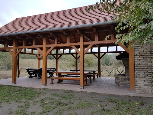
Park nearby Pusztavacsi Parkerdő
Hungary
Park nearby Pusztavacsi Parkerdő
Pusztavacsi Parkerdő
Pusztavacs Magyarország
contacts phone
:
+36
Latitude:
47.1575961
, Longitude:
19.4814564
read more
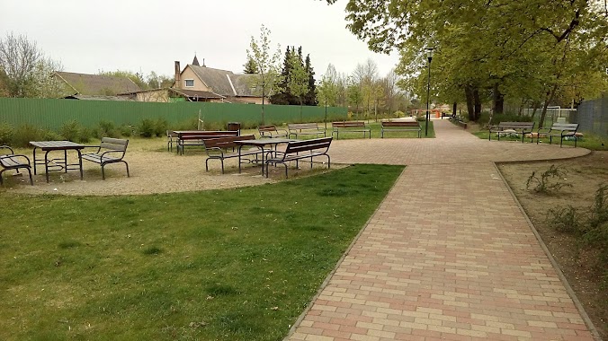
nearest Park
1.739 km
Jewish cemetery
Pusztavacs
Park
read more
3.014 km
Liget
Pusztavacs
Park
read more
5.131 km
Kőrösi utcai sportpálya
Örkény
Park
read more
6.245 km
Táborfalvai focipálya
Táborfalva
Park
read more
8.237 km
Dánszentmiklósi focipálya
Dánszentmiklós
Park
read more
8.535 km
Újlengyeli focipálya
Újlengyel
Park
read more
9.089 km
Özlem TIR Parkı
Újhartyán, erdősor utca 35
Park
read more
10.234 km
Mikebuda Park
Mikebuda
Park
read more
12.122 km
Czeróczki Díszfaiskola
Dabas, Bartók Béla út 99
Park
read more
12.433 km
Kegyeleti park
Dabas, Zlinszky utca 2
Park
read more
12.841 km
DBS Skatepark
Dabas, Iskola utca 3
Park
read more
12.91 km
Jubileumi Park
Dabas, park utca 2
Park
read more
12.946 km
Kakucsi focipálya
Kakucs
Park
read more
13.237 km
Parkoló
Dabas, Szent István út 41
Park
read more
13.306 km
Dabasi sporttelep
Dabas
Park
read more
13.74 km
Mirelite park
Albertirsa, 2730
Park
read more
13.742 km
Mirelite Park
Albertirsa
Park
read more
14.2 km
Ladánybenei focipálya
Ladánybene
Park
read more
14.725 km
Városi Sportcentrum
Albertirsa
Park
read more
15.927 km
Csévharaszti borókás Természetvédelmi terület
Csévharaszt
Park
read more
16.181 km
Inárcsi focipálya
Inárcs
Park
read more
16.218 km
Szent György emlékpark
Inárcs
Park
read more
16.241 km
Kamasz Park
Inárcs, Dózsa tér 1
Park
read more
16.262 km
Szabó Pál Szabadidő Park
Ceglédbercel, Dózsa György út 12
Park
read more
16.262 km
Szabó Pál Szabadidőpark
Ceglédbercel, Dózsa György út 12
Park
read more
📑
all categories
Accounting
Administrative area level 1
Administrative area level 2
Airport
Amusement park
Aquarium
Art gallery
Atm
Bakery
Bank
Bar
Beauty salon
Bicycle store
Book store
Bowling alley
Bus station
Cafe
Campground
Car dealer
Car rental
Car repair
Car wash
Casino
Cemetery
Church
City hall
Clothing store
Colloquial area
Convenience store
Country
Courthouse
Dentist
Department store
Doctor
Electrician
Electronics store
Embassy
Finance
Fire station
Florist
Food
Funeral home
Furniture store
Gas station
General contractor
Grocery or supermarket
Gym
Hair care
Hardware store
Health
Hindu Temple
Home goods store
Hospital
Insurance agency
Intersection
Jewelry store
Laundry
Lawyer
Library
Light rail station
Liquor store
Local government office
Locality
Locksmith
Lodging
Meal delivery
Meal takeaway
Mosque
Movie rental
Movie theater
Moving company
Museum
Natural feature
Neighborhood
Night club
Painter
Park
Parking
Pet store
Pharmacy
Physiotherapist
Place of worship
Plumber
Point of interest
Police
Political
Post office
Premise
Real estate agency
Restaurant
Roofing contractor
Route
Rv park, camping
School
Shoe store
Shopping mall
Spa
Stadium
Storage
Store
Subpremise
Subway station
Supermarket
Synagogue
Taxi stand
Train station
Transit station
Travel agency
University
Veterinary care
Zoo
administrative area level 3
sublocality level 1
↑