Park nearby Gyöngyösi stny
Hungary
Park nearby Gyöngyösi stny
Gyöngyösi stny
Gyöngyösi sétány, 1138, Budapest, HU Magyarország
contacts phone
:
+36
Latitude:
47.5492134
, Longitude:
19.077553
larger map & directions
read more
nearest Park
227 m
Cziffra György park
Budapest, Cziffra György park, Gyöngyösi utca
Park
read more
227 m
Cziffra György park
XIII. kerület
Park
read more
252 m
Tripolisz tér
Hungary
Park
read more
517 m
József Attila Park
Budapest, József Attila tér
Park
read more
523 m
József Attila tér
XIII. kerület
Park
read more
730 m
Balzsam utcai park
XIII. kerület
Park
read more
844 m
Gyermek tér park
Budapest, Gyermek tér
Park
read more
848 m
Gyermek tér
XIII. kerület
Park
read more
947 m
Pozsonyi lakótelep, Kutyafuttató
IV. kerület
Park
read more
964 m
Debrecen park
Budapest
Park
read more
964 m
Debrecen park
Budapeszt
Park
read more
979 m
Berda József utca, Kutyafuttató
IV. kerület
Park
read more
1.291 km
SD KERT KFT.
Budapest, Széchenyi tér 10
Park
read more
1.294 km
Városkapu tér
Budapeszt
Park
read more
1.294 km
Városkapu tér
Budapest
Park
read more
1.342 km
Széchenyi tér
IV. kerület
Park
read more
1.369 km
Futár park
Budapest, Jász utca 90
Park
read more
1.412 km
Szabadság park
Budapeszt
Park
read more
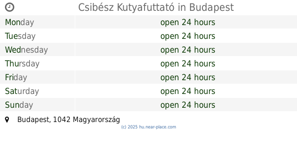
1.448 km
Csibész Kutyafuttató
Budapest
Park
read more
2.047 km
Kaszás és Társa Bt
Budapest, Nyár utca 95
Park
read more
2.056 km
Semsey Aladár park
Budapeszt
Park
read more
2.056 km
Semsey Aladár park
Budapest
Park
read more
2.127 km
Újpesti Bulldog Kutyafuttató -Újpest French Bulldog Party
Budapest, Újpest
Park
read more
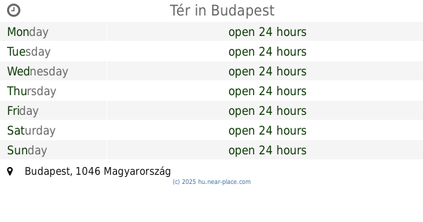
2.156 km
Tér
Budapest
Park
read more
2.556 km
Japánkert
Budapest, Hajós Alfréd sétány
Park
read more
📑
all categories
Accounting
Administrative area level 1
Administrative area level 2
Airport
Amusement park
Aquarium
Art gallery
Atm
Bakery
Bank
Bar
Beauty salon
Bicycle store
Book store
Bowling alley
Bus station
Cafe
Campground
Car dealer
Car rental
Car repair
Car wash
Casino
Cemetery
Church
City hall
Clothing store
Colloquial area
Convenience store
Country
Courthouse
Dentist
Department store
Doctor
Electrician
Electronics store
Embassy
Finance
Fire station
Florist
Food
Funeral home
Furniture store
Gas station
General contractor
Grocery or supermarket
Gym
Hair care
Hardware store
Health
Hindu Temple
Home goods store
Hospital
Insurance agency
Intersection
Jewelry store
Laundry
Lawyer
Library
Light rail station
Liquor store
Local government office
Locality
Locksmith
Lodging
Meal delivery
Meal takeaway
Mosque
Movie rental
Movie theater
Moving company
Museum
Natural feature
Neighborhood
Night club
Painter
Park
Parking
Pet store
Pharmacy
Physiotherapist
Place of worship
Plumber
Point of interest
Police
Political
Post office
Premise
Real estate agency
Restaurant
Roofing contractor
Route
Rv park, camping
School
Shoe store
Shopping mall
Spa
Stadium
Storage
Store
Subpremise
Subway station
Supermarket
Synagogue
Taxi stand
Train station
Transit station
Travel agency
University
Veterinary care
Zoo
administrative area level 3
sublocality level 1
↑