Park nearby Gyógy tér
Coronavirus disease (COVID-19) Situation
confirmed cases
2230232
deaths
49048
Hungary
Park nearby Gyógy tér
Gyógy tér
Balatonfüred, Gyógy tér Ungarn
contacts phone
:
+36
Latitude:
46.9558545
, Longitude:
17.895323
read more
nearest Park
111 m
Deák Ferenc emlékműve
Balatonfüred
Park
read more
252 m
Kiserdő
Balatonfüred
Park
read more
344 m
Kiserdő
Balatonfüred, Fenyves park 4
Park
read more
1.358 km
Aradi Vértanúk Parkja
Balatonfüred, Köztársaság utca 5
Park
read more
1.639 km
Városi Sporttelep
Balatonfüred
Park
read more
1.746 km
Kovászna Park
Balatonfüred, Malom köz 5
Park
read more
1.881 km
Balatonfüred Kisfaludi Sétány
Balatonfüred, Pacsirta utca 28
Park
read more
2.234 km
Lóczy-barlang Feljáró
Balatonfüred, Öreghegyi utca
Park
read more
3.324 km
Csopaki focipálya
Csopak
Park
read more
3.612 km
Balatonfüredi-erdő Természetvédelmi terület
Hungary
Park
read more
3.945 km
Növényvédő Állomás (Ranolder Kastély)
Csopak, Kishegyi utca 15
Park
read more
3.945 km
Ranolder Castle
Csopak, Kishegyi utca 15
Park
read more
3.957 km
Koloska Valley
Balatonfüred
Park
read more
3.996 km
Barátlakás, kiinduló Pont
Tihany, Kecskeköröm utca 28
Park
read more
4.655 km
Csokonai liget
Tihany, I. András tér 1
Park
read more
7.348 km
Kultúrpark
Alsóörs
Park
read more
9.824 km
Szabó Kertépítő Kft.
Zamárdi, Rétföldi utca 89
Park
read more
12.094 km
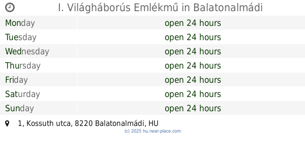
I. Világháborús Emlékmű
Balatonalmádi, Kossuth utca 1
Park
read more
13.314 km
Balatonendrédi focipálya
Balatonendréd
Park
read more
13.521 km
Békás-tó/ Csépány-tó
Siófok, Békás-tó/Csépány-tó
Park
read more
13.872 km
Balatonakali focipálya
Balatonakali
Park
read more
14.552 km
Tóparti park
Balatonszárszó
Park
read more
14.735 km
Kőröshegyi focipálya
Kőröshegy
Park
read more
14.923 km
Világháborús Emlékmű
Veszprém
Park
read more
14.976 km
Holocaus Emlékhely Veszprém
Veszprém, Komakút tér
Park
read more
📑
all categories
Accounting
Administrative area level 1
Administrative area level 2
Airport
Amusement park
Aquarium
Art gallery
Atm
Bakery
Bank
Bar
Beauty salon
Bicycle store
Book store
Bowling alley
Bus station
Cafe
Campground
Car dealer
Car rental
Car repair
Car wash
Casino
Cemetery
Church
City hall
Clothing store
Colloquial area
Convenience store
Country
Courthouse
Dentist
Department store
Doctor
Electrician
Electronics store
Embassy
Finance
Fire station
Florist
Food
Funeral home
Furniture store
Gas station
General contractor
Grocery or supermarket
Gym
Hair care
Hardware store
Health
Hindu Temple
Home goods store
Hospital
Insurance agency
Intersection
Jewelry store
Laundry
Lawyer
Library
Light rail station
Liquor store
Local government office
Locality
Locksmith
Lodging
Meal delivery
Meal takeaway
Mosque
Movie rental
Movie theater
Moving company
Museum
Natural feature
Neighborhood
Night club
Painter
Park
Parking
Pet store
Pharmacy
Physiotherapist
Place of worship
Plumber
Point of interest
Police
Political
Post office
Premise
Real estate agency
Restaurant
Roofing contractor
Route
Rv park, camping
School
Shoe store
Shopping mall
Spa
Stadium
Storage
Store
Subpremise
Subway station
Supermarket
Synagogue
Taxi stand
Train station
Transit station
Travel agency
University
Veterinary care
Zoo
administrative area level 3
sublocality level 1
↑