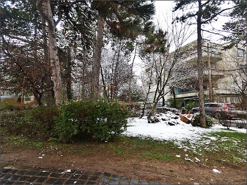
Park nearby Ferenc-hegyi-barlang
Hungary
Park nearby Ferenc-hegyi-barlang
Ferenc-hegyi-barlang
Budapest, Ferenchegyi út 80 Magyarország
contacts phone
:
+36
Latitude:
47.5265523
, Longitude:
19.0098067
read more
nearest Park
980 m
Nagy Lajos tér
II. kerület
Park
read more
1.02 km
Nagy Lajos tér
Budapest, Nagy Lajos tér
Park
read more
1.157 km
Szemlő-hegyi-barlang
Budapest, Pusztaszeri út 35
Park
read more
1.196 km
Tölgyfa Kertészeti Kft
Budapest, Törökvész út 116
Park
read more
1.235 km
Vérhalom téri park és játszótér
Budapest, Vérhalom tér
Park
read more
1.24 km
Vérhalom Square
Budapest, Vérhalom tér
Park
read more
1.24 km
Vérhalom tér
Budapest, Vérhalom tér
Park
read more
1.272 km
József-hegyi-barlang
Budapest, Józsefhegyi utca 19a
Park
read more
1.373 km
Pasaréti Gyermekpark
Budapest, Torockó tér 1
Park
read more
1.382 km
Torockó tér
II. kerület
Park
read more
1.674 km
Bibó parki kutyafuttató
Budapest, Bimbó út 35
Park
read more
1.778 km
Kiscelli Parkerdő
Budapest, Doberdó út 34
Park
read more
2.028 km
Mansfeld Péter park
Budapest, Veronika utca 6
Park
read more
2.03 km
Györffy Tree Expert
Budapest, Lövőház utca 28
Park
read more
2.053 km
Szent Család park
XII. kerület
Park
read more
2.081 km
MILLENARY PARK
Budapest, 4
Park
read more
2.107 km
Libanoni Cédrus
Budapest, Kondor út 5
Park
read more
2.142 km
Millenáris
Budapest, Kis Rókus utca
Park
read more
2.19 km
Molnár János Cave
Budapest, Frankel Leó út 48
Park
read more
2.19 km
Molnár János-barlang
Budapest, Frankel Leó út 48
Park
read more
2.203 km
Jordán-Táj Kert ésTájépítész Stúdió Bt.
Budapest, Buday László utca 7
Park
read more
2.21 km
Citi-Kert Bt. Kertépítés és Kertfenntartás
Budapest, Buday László utca 7
Park
read more
2.284 km
Papkerti kutyafuttató
Budapest, Mechwart tér 1
Park
read more
2.294 km
Margit utcai park
II. kerület
Park
read more
2.326 km
Mechwart liget
Budapest, Margit körút 47-49
Park
read more
📑
all categories
Accounting
Administrative area level 1
Administrative area level 2
Airport
Amusement park
Aquarium
Art gallery
Atm
Bakery
Bank
Bar
Beauty salon
Bicycle store
Book store
Bowling alley
Bus station
Cafe
Campground
Car dealer
Car rental
Car repair
Car wash
Casino
Cemetery
Church
City hall
Clothing store
Colloquial area
Convenience store
Country
Courthouse
Dentist
Department store
Doctor
Electrician
Electronics store
Embassy
Finance
Fire station
Florist
Food
Funeral home
Furniture store
Gas station
General contractor
Grocery or supermarket
Gym
Hair care
Hardware store
Health
Hindu Temple
Home goods store
Hospital
Insurance agency
Intersection
Jewelry store
Laundry
Lawyer
Library
Light rail station
Liquor store
Local government office
Locality
Locksmith
Lodging
Meal delivery
Meal takeaway
Mosque
Movie rental
Movie theater
Moving company
Museum
Natural feature
Neighborhood
Night club
Painter
Park
Parking
Pet store
Pharmacy
Physiotherapist
Place of worship
Plumber
Point of interest
Police
Political
Post office
Premise
Real estate agency
Restaurant
Roofing contractor
Route
Rv park, camping
School
Shoe store
Shopping mall
Spa
Stadium
Storage
Store
Subpremise
Subway station
Supermarket
Synagogue
Taxi stand
Train station
Transit station
Travel agency
University
Veterinary care
Zoo
administrative area level 3
sublocality level 1
↑