Gas station nearby MOL
Coronavirus disease (COVID-19) Situation
confirmed cases
2230232
deaths
49048
Hungary
Gas station nearby MOL
MOL
67, Ady Endre utca, 1204, Budapest, HU Magyarország
contacts phone
:
+36 1 287 8022
website:
toltoallomaskereso.mol.hu
Latitude:
47.439329
, Longitude:
19.104584
larger map & directions
read more
nearest Gas station
865 m
OMV
Budapest, Határ út
Gas station
read more
1.572 km
OMV Töltőállomás
Budapest, Védgát utca 47
Gas station
read more
1.581 km
SPAR Express OMV
Budapest, OMV, Védgát utca 47
Gas station
read more
1.98 km
MOL Benzinkút
Budapest, Helsinki út 108-112
Gas station
read more
1.988 km
MOL
Budapest, Helsinki út 108-112
Gas station
read more
2.163 km
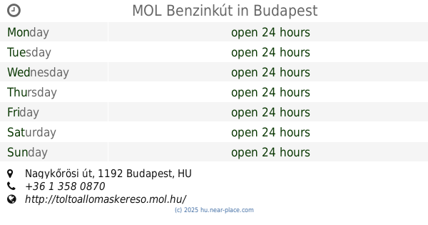
MOL Benzinkút
Budapest, Nagykőrösi út
Gas station
read more
2.242 km
Shell
Budapest, Kén utca 1
Gas station
read more
2.248 km
OMV
Budapest, Nagykőrösi út 185
Gas station
read more
2.248 km
OMV Töltőállomás
Budapest, Nagykőrösi út 185
Gas station
read more
2.307 km
MOL Benzinkút
Budapest, Gyáli út 46-48
Gas station
read more
2.503 km
MOL Benzinkút
Budapest, Kossuth L. u. 3.
Gas station
read more
2.503 km
MOL
Budapest, Kossuth L. u. 3.
Gas station
read more
2.575 km
MOL
Budapest, Soroksári út 110-120
Gas station
read more
2.575 km
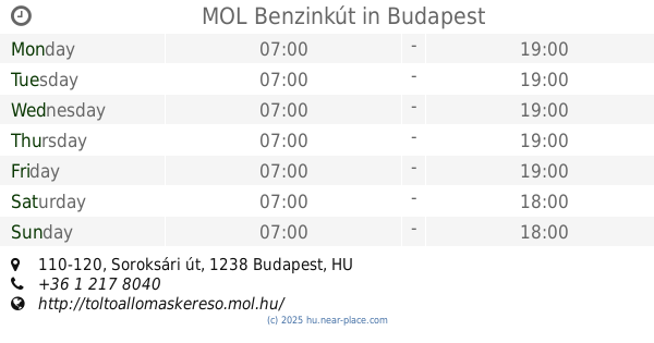
MOL Benzinkút
Budapest, Soroksári út 110-120
Gas station
read more
2.788 km
MOL
Budapest, Gubacsi út
Gas station
read more
2.788 km
MOL Benzinkút
Budapest, Gubacsi út
Gas station
read more
2.801 km
MOL Benzinkút
Budapest, Gubacsi út 41-45
Gas station
read more
2.946 km
Dallas Benzinkut
Budapest
Gas station
read more
3.153 km
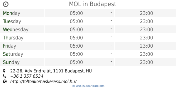
MOL
Budapest, Ady Endre út 22-26
Gas station
read more
3.187 km
MOL Benzinkút
Budapest, Szent István út
Gas station
read more
3.187 km
MOL
Budapest, Szent István út
Gas station
read more
3.246 km
MOL
Budapest, Weiss Manfréd út 209990/1
Gas station
read more
3.246 km
MOL Benzinkút
Budapest, Weiss Manfréd út 209990/1
Gas station
read more
3.312 km
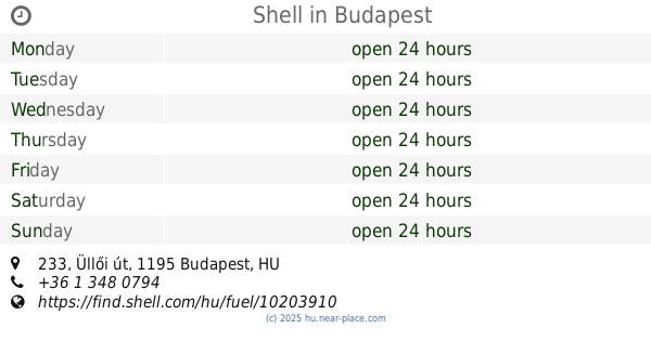
Shell
Budapest, Üllői út 233
Gas station
read more
3.721 km
Lukoil
Budapest, Kvassay Jenő út 3
Gas station
read more
📑
all categories
Accounting
Administrative area level 1
Administrative area level 2
Airport
Amusement park
Aquarium
Art gallery
Atm
Bakery
Bank
Bar
Beauty salon
Bicycle store
Book store
Bowling alley
Bus station
Cafe
Campground
Car dealer
Car rental
Car repair
Car wash
Casino
Cemetery
Church
City hall
Clothing store
Colloquial area
Convenience store
Country
Courthouse
Dentist
Department store
Doctor
Electrician
Electronics store
Embassy
Finance
Fire station
Florist
Food
Funeral home
Furniture store
Gas station
General contractor
Grocery or supermarket
Gym
Hair care
Hardware store
Health
Hindu Temple
Home goods store
Hospital
Insurance agency
Intersection
Jewelry store
Laundry
Lawyer
Library
Light rail station
Liquor store
Local government office
Locality
Locksmith
Lodging
Meal delivery
Meal takeaway
Mosque
Movie rental
Movie theater
Moving company
Museum
Natural feature
Neighborhood
Night club
Painter
Park
Parking
Pet store
Pharmacy
Physiotherapist
Place of worship
Plumber
Point of interest
Police
Political
Post office
Premise
Real estate agency
Restaurant
Roofing contractor
Route
Rv park, camping
School
Shoe store
Shopping mall
Spa
Stadium
Storage
Store
Subpremise
Subway station
Supermarket
Synagogue
Taxi stand
Train station
Transit station
Travel agency
University
Veterinary care
Zoo
administrative area level 3
sublocality level 1
↑