Gas station nearby Euro Petrol
Coronavirus disease (COVID-19) Situation
confirmed cases
2230232
deaths
49048
Hungary
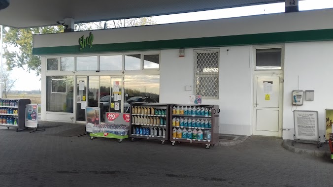
Gas station nearby Euro Petrol
Euro Petrol
Cegléd, Ipari Park 1 Magyarország
contacts phone
:
+36
Latitude:
47.1964689
, Longitude:
19.7878397
read more
nearest Gas station
Euro Petrol
2700 Cegléd, Ipari Park 1
Gas station
read more
1.031 km
MOL Gas station
Cegléd, M4 II.
Gas station
read more
1.031 km
MOL Benzinkút
Cegléd, M4 II.
Gas station
read more
1.23 km
MOL Benzinkút
Cegléd, M4 I.
Gas station
read more
1.664 km
Hunoil
Cegléd, Malomtó szél 21
Gas station
read more
1.78 km
Hexa-Coop Szövetkezet
Cegléd, Külső Jászberényi út
Gas station
read more
1.789 km
OMV
Cegléd, Külső Jászberényi út Hrsz 0825/263
Gas station
read more
1.803 km
OMV
Cegléd
Gas station
read more
1.835 km
Shell
Cegléd, Malomtó szél 29
Gas station
read more
1.838 km
Shell
Cegléd, Malomtó szél 26
Gas station
read more
2.27 km
MOL Benzinkút
Cegléd, Pesti út 87
Gas station
read more
5.516 km
MOL Benzinkút
Cegléd, Kőrösi út
Gas station
read more
11.698 km
Törtel benzinkút
Törtel
Gas station
read more
15.086 km
Káta üzemanyagkút Tápióbusz 2005 Kft
Albertirsa, Dánosi utca 1659/2
Gas station
read more
15.086 km
Káta petrol Tápió Bus 2005 Ltd.
Albertirsa, Dánosi utca 1659/2
Gas station
read more
15.958 km
Avanti
Albertirsa, 4.sz. Főút 51-52. km
Gas station
read more
15.959 km
OMV Töltőállomás
Albertirsa, 4. sz. főút 51-52. km
Gas station
read more
15.959 km
OMV
Albertirsa, 4. sz. főút 51-52. km
Gas station
read more
15.97 km
OMV Benzinkút
Albertirsa
Gas station
read more
15.97 km
OMV Gas station
Albertirsa
Gas station
read more
16.533 km
GPW-OIL Kft
Albertirsa, Béke utca 43
Gas station
read more
24.135 km
Shell
Lajosmizse, Lajosmizsei pihenő M5, E75, Autopalya 67. km Nyugat
Gas station
read more
25.056 km
MOL Benzinkút
Nagykáta, Ady Endre út
Gas station
read more
26.272 km
Agip
Táborfalva
Gas station
read more
27.263 km
MOL Benzinkút
Monor, 4.sz. fkl. út (Katalin Csárda)
Gas station
read more
📑
all categories
Accounting
Administrative area level 1
Administrative area level 2
Airport
Amusement park
Aquarium
Art gallery
Atm
Bakery
Bank
Bar
Beauty salon
Bicycle store
Book store
Bowling alley
Bus station
Cafe
Campground
Car dealer
Car rental
Car repair
Car wash
Casino
Cemetery
Church
City hall
Clothing store
Colloquial area
Convenience store
Country
Courthouse
Dentist
Department store
Doctor
Electrician
Electronics store
Embassy
Finance
Fire station
Florist
Food
Funeral home
Furniture store
Gas station
General contractor
Grocery or supermarket
Gym
Hair care
Hardware store
Health
Hindu Temple
Home goods store
Hospital
Insurance agency
Intersection
Jewelry store
Laundry
Lawyer
Library
Light rail station
Liquor store
Local government office
Locality
Locksmith
Lodging
Meal delivery
Meal takeaway
Mosque
Movie rental
Movie theater
Moving company
Museum
Natural feature
Neighborhood
Night club
Painter
Park
Parking
Pet store
Pharmacy
Physiotherapist
Place of worship
Plumber
Point of interest
Police
Political
Post office
Premise
Real estate agency
Restaurant
Roofing contractor
Route
Rv park, camping
School
Shoe store
Shopping mall
Spa
Stadium
Storage
Store
Subpremise
Subway station
Supermarket
Synagogue
Taxi stand
Train station
Transit station
Travel agency
University
Veterinary care
Zoo
administrative area level 3
sublocality level 1
↑