Cafe nearby Italdiszkont
Coronavirus disease (COVID-19) Situation
confirmed cases
2230232
deaths
49048
Hungary
Cafe nearby Italdiszkont
Italdiszkont
41, Ócsai út, 2225, Üllő, HU Hungary
contacts phone
:
+36
Latitude:
47.3810857
, Longitude:
19.3402561
larger map & directions
read more
nearest Cafe
371 m
Palermo cukrászda
Üllő, Ócsai út 16
Cafe
read more
5.969 km
Fincsi Bufe
Gyömrő, Szent István út 20a
Cafe
read more
6.188 km
Chameeleon Coffee
Gyömrő, Szent István út 23-33
Cafe
read more
6.188 km
Chameeleon Coffe
Gyömrő, Szent István út 23-33
Cafe
read more
7.391 km
Alfa Cafe
Maglód, Bajcsy-Zsilinszky utca 71
Cafe
read more
8.303 km
Paning Kft.
Monor, Ady Endre utca 19
Cafe
read more
8.345 km
The Hatter
Monor, Ady Endre utca 17
Cafe
read more
8.836 km
RIGOLETTÓ Fagylaltozó
Monor, Kossuth Lajos út 93
Cafe
read more
10.93 km
UpperCrust
Budapest
Cafe
read more
12.059 km
Bufé
Ócsa, Damjanich utca 35
Cafe
read more
12.553 km
ERGOLINE SZOLARIUM&CAFFE
Ócsa, Deák Ferenc utca 10
Cafe
read more
13.23 km
PostART
Ócsa, Kertész utca 1
Cafe
read more
13.48 km
Törzshely
Budapest, Ferihegyi út 26
Cafe
read more
13.482 km
Liget Café
Budapest, Hősök tere 18
Cafe
read more
14.357 km
Coffea Arabica kávézó
Budapest, Bevásárló utca 2
Cafe
read more
14.385 km
Crema Fagylaltozó
Budapest, Bevásárló utca
Cafe
read more
14.734 km
Cafe + Co Kft.
Alsónémedi, Ócsai út 7
Cafe
read more
16.809 km
Amai Tea House
Budapest, Fő utca 22
Cafe
read more
17.008 km
Ízek Háza
Budapest, Kossuth tér 2
Cafe
read more
17.086 km
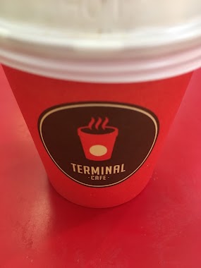
Terminal Cafe
Budapest, Vak Bottyán utca 75a-75c
Cafe
read more
17.201 km
Cafe Frei
Budapest, Vak Bottyán utca 75
Cafe
read more
18.24 km
A2 Cukrászda és kávézó
Budapest, Jókai Mór utca 3a
Cafe
read more
18.243 km
Szarvas
Nyáregyháza, Temesvári út 2
Cafe
read more
20.248 km
Inmedio
Budapest, Rákosfalva park 5
Cafe
read more
20.527 km
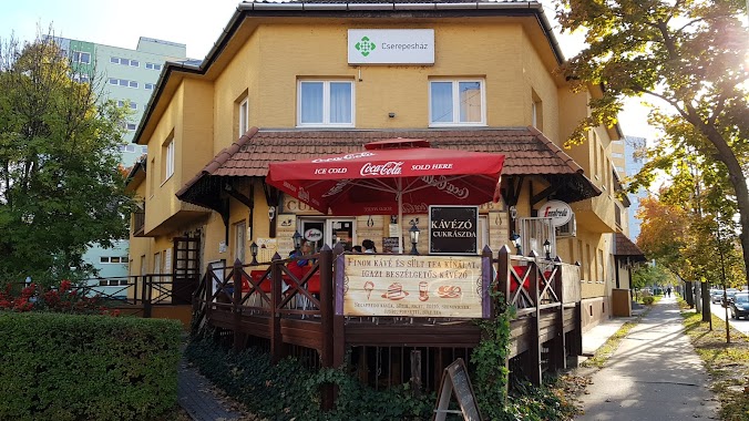
Cserepes cukrászda, kávézó-büfé
Budapest
Cafe
read more
📑
all categories
Accounting
Administrative area level 1
Administrative area level 2
Airport
Amusement park
Aquarium
Art gallery
Atm
Bakery
Bank
Bar
Beauty salon
Bicycle store
Book store
Bowling alley
Bus station
Cafe
Campground
Car dealer
Car rental
Car repair
Car wash
Casino
Cemetery
Church
City hall
Clothing store
Colloquial area
Convenience store
Country
Courthouse
Dentist
Department store
Doctor
Electrician
Electronics store
Embassy
Finance
Fire station
Florist
Food
Funeral home
Furniture store
Gas station
General contractor
Grocery or supermarket
Gym
Hair care
Hardware store
Health
Hindu Temple
Home goods store
Hospital
Insurance agency
Intersection
Jewelry store
Laundry
Lawyer
Library
Light rail station
Liquor store
Local government office
Locality
Locksmith
Lodging
Meal delivery
Meal takeaway
Mosque
Movie rental
Movie theater
Moving company
Museum
Natural feature
Neighborhood
Night club
Painter
Park
Parking
Pet store
Pharmacy
Physiotherapist
Place of worship
Plumber
Point of interest
Police
Political
Post office
Premise
Real estate agency
Restaurant
Roofing contractor
Route
Rv park, camping
School
Shoe store
Shopping mall
Spa
Stadium
Storage
Store
Subpremise
Subway station
Supermarket
Synagogue
Taxi stand
Train station
Transit station
Travel agency
University
Veterinary care
Zoo
administrative area level 3
sublocality level 1
↑