Cafe nearby Fragola
Coronavirus disease (COVID-19) Situation
confirmed cases
2230232
deaths
49048
Hungary
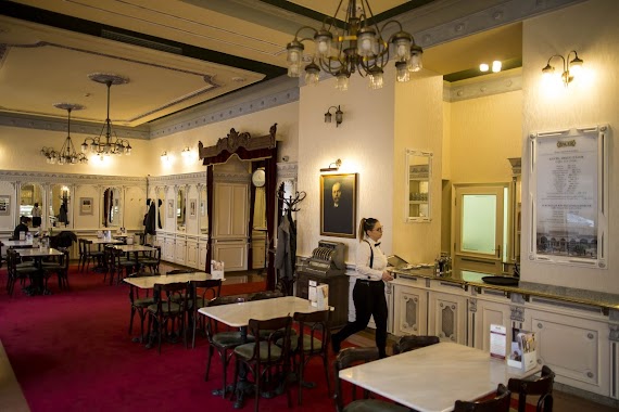
Cafe nearby Fragola
Fragola
Budapest, Károly körút 3a Magyarország
contacts phone
:
+36
Latitude:
47.4951566
, Longitude:
19.0596967
read more
nearest Cafe
189 m
Solinfo Cafe
Budapest, Wesselényi utca 6
Cafe
read more
189 m
Auguszt Cukrászda
Budapest, Kossuth Lajos utca 14-16.
Cafe
read more
195 m
Kolette Bistro
Budapest, Károly körút 26
Cafe
read more
248 m
Zoska Reggeliző Kávézó
Budapest, Ferenczy István utca 28
Cafe
read more
258 m
Habroló
Budapest, Szép utca 1
Cafe
read more
314 m
à table
Budapest, Madách Imre út 1
Cafe
read more
515 m
Best Star Budapest
Budapest, Fehér Hajó utca 8
Cafe
read more
545 m
Labrisz Office,
Budapest, Szentkiralyi ut 22, Szentkirályi utca 24
Cafe
read more
550 m
Sirius Teahaz
Budapest, Bródy Sándor utca 13
Cafe
read more
618 m
Klauzál Café
Budapest, Klauzál utca 23
Cafe
read more
663 m
Ele’s Place
Budapest, Klauzál tér 13
Cafe
read more
683 m
Szamos Gourmet Ház
Budapest, Váci utca 1
Cafe
read more
729 m
Doubleshot
Budapest, Veres Pálné utca 40
Cafe
read more
737 m
Corvin Cafe
Budapest, Somogyi Béla utca 1
Cafe
read more
744 m
Rézraktár Hard folk cafe
Budapest, Akácfa utca 52
Cafe
read more
747 m
Vaci Street Cafe Frei
Budapest, Váci utca 77
Cafe
read more
795 m
Waffle & Love
Budapest, 1092, Ráday utca 1
Cafe
read more
813 m
À Table
Budapest, Nagymező utca 8
Cafe
read more
929 m
Veryberry
Budapest, Zrínyi utca 12
Cafe
read more
977 m
Meltdown Budapest
Budapest, Zichy Jenő utca 4
Cafe
read more
988 m
Paris, Texas Kávéház
Budapest, Ráday utca 22
Cafe
read more
990 m
Kristály Cukrászda
Budapest, József körút 53
Cafe
read more
1.018 km
Hauer cukrászda és kávéház
Budapest, Rákóczi út 47-49
Cafe
read more
1.083 km
Kaffee Punkt
Budapest, Almássy utca 6
Cafe
read more
1.295 km
UpTown Budapest
Budapest, Corvin köz 1
Cafe
read more
📑
all categories
Accounting
Administrative area level 1
Administrative area level 2
Airport
Amusement park
Aquarium
Art gallery
Atm
Bakery
Bank
Bar
Beauty salon
Bicycle store
Book store
Bowling alley
Bus station
Cafe
Campground
Car dealer
Car rental
Car repair
Car wash
Casino
Cemetery
Church
City hall
Clothing store
Colloquial area
Convenience store
Country
Courthouse
Dentist
Department store
Doctor
Electrician
Electronics store
Embassy
Finance
Fire station
Florist
Food
Funeral home
Furniture store
Gas station
General contractor
Grocery or supermarket
Gym
Hair care
Hardware store
Health
Hindu Temple
Home goods store
Hospital
Insurance agency
Intersection
Jewelry store
Laundry
Lawyer
Library
Light rail station
Liquor store
Local government office
Locality
Locksmith
Lodging
Meal delivery
Meal takeaway
Mosque
Movie rental
Movie theater
Moving company
Museum
Natural feature
Neighborhood
Night club
Painter
Park
Parking
Pet store
Pharmacy
Physiotherapist
Place of worship
Plumber
Point of interest
Police
Political
Post office
Premise
Real estate agency
Restaurant
Roofing contractor
Route
Rv park, camping
School
Shoe store
Shopping mall
Spa
Stadium
Storage
Store
Subpremise
Subway station
Supermarket
Synagogue
Taxi stand
Train station
Transit station
Travel agency
University
Veterinary care
Zoo
administrative area level 3
sublocality level 1
↑