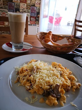
Cafe nearby Andrews Pékség
Coronavirus disease (COVID-19) Situation
confirmed cases
2230232
deaths
49048
Hungary
Cafe nearby Andrews Pékség
Andrews Pékség
37, Diósdi út, 2030, Érd, HU Hungary
contacts phone
:
+36
Latitude:
47.3833996
, Longitude:
18.9240454
larger map & directions
read more
nearest Cafe
582 m
bar coffee
Érd, Budai út 24
Cafe
read more
1.155 km
Pataki Cukrászda 1973
Érd, Balatoni út 61
Cafe
read more
1.304 km
Duraku Pékség
Érd, Velencei út 20
Cafe
read more
2.709 km
PrímaPék Pékség Diósd
Diósd, Balatoni út
Cafe
read more
3.904 km
Csoki Bár
Érd 2030, Bajcsy-Zsilinszky út 178
Cafe
read more
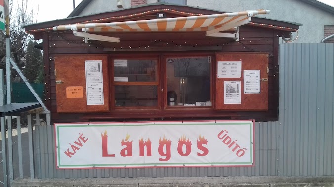
4.248 km
Lángos büfé
Tárnok, Vadvirág utca 2
Cafe
read more
4.588 km
Cafe Frei
Érd, Iparos utca 5
Cafe
read more
4.588 km
Cafe Frei Érd
Érd, Iparos utca 5
Cafe
read more
6.092 km
Budapest Highland Golf Club
Budapest, Dózsa György út 99-103
Cafe
read more
12.848 km
Gergely Traccs Cuki
Dunaharaszti, Petőfi Sándor utca 15
Cafe
read more
13.047 km
Lipóti pékség
Dunaharaszti, Dózsa György út 51
Cafe
read more
13.737 km
Nemzeti Dohánybolt
Szigetcsép, Fő utca 39-41
Cafe
read more
13.889 km
Cafe Frei Allee
Budapest, Váli utca 3
Cafe
read more
14.999 km
Patrisa Cafe`
Budapest, Lechner Ödön fasor 3
Cafe
read more
15.453 km
Doubleshot
Budapest, Veres Pálné utca 40
Cafe
read more
15.463 km
Majorka Kávézó
Budapest, Szilágyi Erzsébet fasor 16
Cafe
read more
15.567 km
Paris, Texas Kávéház
Budapest, Ráday utca 22
Cafe
read more
15.917 km
Zoska Reggeliző Kávézó
Budapest, Ferenczy István utca 28
Cafe
read more
16.047 km
Kolette Bistro
Budapest, Károly körút 26
Cafe
read more
16.053 km
Medicus Cafe
Budapest, Üllői út 89
Cafe
read more
16.077 km
Costa Coffee
Budapest, Futó utca 40
Cafe
read more
16.256 km
Solinfo Cafe
Budapest, Wesselényi utca 6
Cafe
read more
16.638 km
Meltdown Budapest
Budapest, Zichy Jenő utca 4
Cafe
read more
17.55 km
Kalicka Bisztró
Budapest, 1077, Rottenbiller utca 32
Cafe
read more
17.612 km
The Goat Herder - Espresso Bar
Budapest, István utca 5
Cafe
read more
📑
all categories
Accounting
Administrative area level 1
Administrative area level 2
Airport
Amusement park
Aquarium
Art gallery
Atm
Bakery
Bank
Bar
Beauty salon
Bicycle store
Book store
Bowling alley
Bus station
Cafe
Campground
Car dealer
Car rental
Car repair
Car wash
Casino
Cemetery
Church
City hall
Clothing store
Colloquial area
Convenience store
Country
Courthouse
Dentist
Department store
Doctor
Electrician
Electronics store
Embassy
Finance
Fire station
Florist
Food
Funeral home
Furniture store
Gas station
General contractor
Grocery or supermarket
Gym
Hair care
Hardware store
Health
Hindu Temple
Home goods store
Hospital
Insurance agency
Intersection
Jewelry store
Laundry
Lawyer
Library
Light rail station
Liquor store
Local government office
Locality
Locksmith
Lodging
Meal delivery
Meal takeaway
Mosque
Movie rental
Movie theater
Moving company
Museum
Natural feature
Neighborhood
Night club
Painter
Park
Parking
Pet store
Pharmacy
Physiotherapist
Place of worship
Plumber
Point of interest
Police
Political
Post office
Premise
Real estate agency
Restaurant
Roofing contractor
Route
Rv park, camping
School
Shoe store
Shopping mall
Spa
Stadium
Storage
Store
Subpremise
Subway station
Supermarket
Synagogue
Taxi stand
Train station
Transit station
Travel agency
University
Veterinary care
Zoo
administrative area level 3
sublocality level 1
↑