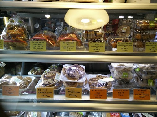
Cafe nearby A Másik Tejivó
Coronavirus disease (COVID-19) Situation
confirmed cases
2230232
deaths
49048
Hungary
Cafe nearby A Másik Tejivó
A Másik Tejivó
9, Szent István körút, 1055, Budapest, HU Magyarország
contacts phone
:
+36 70 946 2883
Latitude:
47.5121904
, Longitude:
19.0500854
larger map & directions
read more
nearest Cafe
428 m
Mosaik Cafe
Budapest, Pannónia utca 32
Cafe
read more
499 m
Bio Cafe
Budapest, 1065, Bajcsy-Zsilinszky út 65
Cafe
read more
504 m
Café Panini
Budapest, Radnóti Miklós utca 45
Cafe
read more
565 m
Bubbleology
Budapest, Váci út 10
Cafe
read more
665 m
Cafe Frei Eiffel tér
Budapest, Teréz körút 55-57
Cafe
read more
741 m
Java Caffe Company
Budapest, Aulich utca 7
Cafe
read more
741 m
Java Caffé
Budapest, Aulich utca 7
Cafe
read more
788 m
Starbucks
Budapest, Váci út 1-3
Cafe
read more
812 m
Broadway Club Budapest
Budapest, Nagymező utca 64
Cafe
read more
813 m
Revolution 56
Budapest, Bem rakpart 53
Cafe
read more
830 m
Garibaldi Bistro
Budapest, Garibaldi utca 4
Cafe
read more
836 m
Little Irish cafe
Budapest, Nádor utca 34
Cafe
read more
911 m
BUBU Bubble Tea
Budapest, 1066, Teréz körút 38
Cafe
read more
918 m
By Beans coffee
Budapest, Hold utca 13
Cafe
read more
927 m
Bambi Eszpresszó
Budapest, Frankel Leó út 2-4
Cafe
read more
946 m
3 Pajamas Breakfast Club
Budapest, 1064, Szondi utca 22
Cafe
read more
953 m
Telefon Bisztró
Budapest, Frankel Leó út 10
Cafe
read more
1.054 km
Meltdown Budapest
Budapest, Zichy Jenő utca 4
Cafe
read more
1.093 km
Világcsücsök Social Space
Budapest, Váci út 50
Cafe
read more
1.121 km
Csupaszív Cafe & Bar
Budapest, Frankel Leó út 21-23
Cafe
read more
1.13 km
Teaház a Vörös Oroszlánhoz
Budapest, Jókai tér 8
Cafe
read more
1.17 km
Gisell Café & Aperitivo Bar
Budapest, Nagymező utca 26
Cafe
read more
1.217 km
Cafe Frei Budapest V17
Budapest, 17, Váci út
Cafe
read more
1.221 km
Isolabella Café
Budapest, Iskola utca 36
Cafe
read more
1.343 km
Incognito Bar Cafe
Budapest, Liszt Ferenc tér 3
Cafe
read more
📑
all categories
Accounting
Administrative area level 1
Administrative area level 2
Airport
Amusement park
Aquarium
Art gallery
Atm
Bakery
Bank
Bar
Beauty salon
Bicycle store
Book store
Bowling alley
Bus station
Cafe
Campground
Car dealer
Car rental
Car repair
Car wash
Casino
Cemetery
Church
City hall
Clothing store
Colloquial area
Convenience store
Country
Courthouse
Dentist
Department store
Doctor
Electrician
Electronics store
Embassy
Finance
Fire station
Florist
Food
Funeral home
Furniture store
Gas station
General contractor
Grocery or supermarket
Gym
Hair care
Hardware store
Health
Hindu Temple
Home goods store
Hospital
Insurance agency
Intersection
Jewelry store
Laundry
Lawyer
Library
Light rail station
Liquor store
Local government office
Locality
Locksmith
Lodging
Meal delivery
Meal takeaway
Mosque
Movie rental
Movie theater
Moving company
Museum
Natural feature
Neighborhood
Night club
Painter
Park
Parking
Pet store
Pharmacy
Physiotherapist
Place of worship
Plumber
Point of interest
Police
Political
Post office
Premise
Real estate agency
Restaurant
Roofing contractor
Route
Rv park, camping
School
Shoe store
Shopping mall
Spa
Stadium
Storage
Store
Subpremise
Subway station
Supermarket
Synagogue
Taxi stand
Train station
Transit station
Travel agency
University
Veterinary care
Zoo
administrative area level 3
sublocality level 1
↑