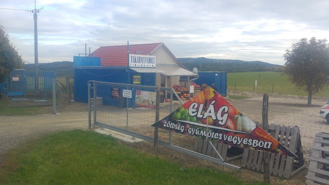
Bus station nearby Tolmács, szövetkezeti bolt
Hungary
Bus station nearby Tolmács, szövetkezeti bolt
Tolmács, szövetkezeti bolt
Tolmács, 2657 Magyarország
contacts phone
:
+36
Latitude:
47.926205
, Longitude:
19.110911
larger map & directions
read more
nearest Bus station
512 m
Tolmács, vasútállomás bejárati út
Hungary
Bus station
read more
1.029 km
Rétság, Pusztaszántói elágazás
Hungary
Bus station
read more
1.046 km
Rétság, tolmácsi elágazás
Hungary
Bus station
read more
1.095 km
Rétság, TDK
Hungary
Bus station
read more
1.218 km
Rétság, HI-LEX kft.
Hungary
Bus station
read more
1.283 km
Rétság, Gibbs kft.
Hungary
Bus station
read more
1.342 km
Rétság, AFT Európa Kft.
Hungary
Bus station
read more
1.408 km
Rétság, rendőrség
Hungary
Bus station
read more
1.416 km
Rétság, Ten Cate Enbi Kft.
Hungary
Bus station
read more
1.946 km
Nógrád Volán Zrt.
Rétság, Rákóczi Ferenc utca 24
Bus station
read more
2.018 km
Rétság, autóbusz-forduló
Hungary
Bus station
read more
2.916 km
Romhányi elágazás
Hungary
Bus station
read more
3.246 km
Diósjenő, Hantai dűlő
Hungary
Bus station
read more
4.04 km
Berkenyei, elágazás
Hungary
Bus station
read more
4.395 km
Bánk, újtelep
Hungary
Bus station
read more
4.646 km
Bánk, tengerszem fogadó
Hungary
Bus station
read more
4.825 km
Nőtincs, Rózsa u.
Hungary
Bus station
read more
4.938 km
Nőtincsi elágazás
Hungary
Bus station
read more
4.99 km
Nógrád, Mátyás király utca 1.
Hungary
Bus station
read more
5.035 km
Diósjenő, elágazás
Hungary
Bus station
read more
5.127 km
Berkenye, Zrínyi utca
Hungary
Bus station
read more
5.409 km
Nőtincs, Templom tér
Hungary
Bus station
read more
5.468 km
Nógrád, vasútállomás
Hungary
Bus station
read more
5.539 km
Nőtincs, Alvég
Hungary
Bus station
read more
5.682 km
Tereskei elágazás
Hungary
Bus station
read more
📑
all categories
Accounting
Administrative area level 1
Administrative area level 2
Airport
Amusement park
Aquarium
Art gallery
Atm
Bakery
Bank
Bar
Beauty salon
Bicycle store
Book store
Bowling alley
Bus station
Cafe
Campground
Car dealer
Car rental
Car repair
Car wash
Casino
Cemetery
Church
City hall
Clothing store
Colloquial area
Convenience store
Country
Courthouse
Dentist
Department store
Doctor
Electrician
Electronics store
Embassy
Finance
Fire station
Florist
Food
Funeral home
Furniture store
Gas station
General contractor
Grocery or supermarket
Gym
Hair care
Hardware store
Health
Hindu Temple
Home goods store
Hospital
Insurance agency
Intersection
Jewelry store
Laundry
Lawyer
Library
Light rail station
Liquor store
Local government office
Locality
Locksmith
Lodging
Meal delivery
Meal takeaway
Mosque
Movie rental
Movie theater
Moving company
Museum
Natural feature
Neighborhood
Night club
Painter
Park
Parking
Pet store
Pharmacy
Physiotherapist
Place of worship
Plumber
Point of interest
Police
Political
Post office
Premise
Real estate agency
Restaurant
Roofing contractor
Route
Rv park, camping
School
Shoe store
Shopping mall
Spa
Stadium
Storage
Store
Subpremise
Subway station
Supermarket
Synagogue
Taxi stand
Train station
Transit station
Travel agency
University
Veterinary care
Zoo
administrative area level 3
sublocality level 1
↑