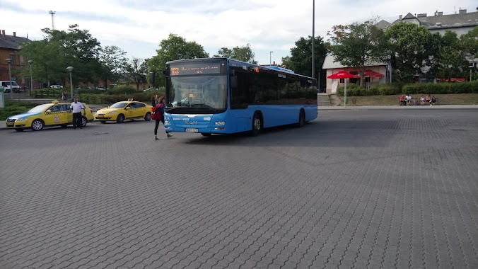
Bus station nearby Sümegvár utca
Hungary
Bus station nearby Sümegvár utca
Sümegvár utca
Budapest, 1118 Ungarn
contacts phone
:
+36
Latitude:
47.469182
, Longitude:
19.013408
larger map & directions
read more
nearest Bus station
287 m
Előpatak utca
Hungary
Bus station
read more
328 m
Sasadi út
Hungary
Bus station
read more
330 m
Budapest, Sasadi út
Hungary
Bus station
read more
499 m
Dayka Gábor utca
Hungary
Bus station
read more
504 m
Nagyszeben út
Hungary
Bus station
read more
582 m
Bereck utca
Hungary
Bus station
read more
674 m
Nagyszeben tér
Hungary
Bus station
read more
757 m
Regős köz
Hungary
Bus station
read more
823 m
Kérő utca
Hungary
Bus station
read more
841 m
Jégvirág utca
Hungary
Bus station
read more
860 m
Regős utca
Hungary
Bus station
read more
875 m
Budapest, Budapest Kelenföld BKK
Hungary
Bus station
read more
882 m
Kelenföld vasútállomás M
Budapest
Bus station
read more
910 m
Gazdagréti út
Hungary
Bus station
read more
932 m
Neszmélyi út
Hungary
Bus station
read more
936 m
Autóbuszállomás Budapest-Kelenföld
Budapest, Etele tér, Autóbuszállomás
Bus station
read more
945 m
Frankhegy utca
Hungary
Bus station
read more
945 m
Budapest, Budapest Kelenföld
Hungary
Bus station
read more
946 m
Budapest, Kelenföld vasútállomás
Hungary
Bus station
read more
993 m
Törökugrató utca
Hungary
Bus station
read more
1.007 km
Nagyszalonta köz
Hungary
Bus station
read more
1.017 km
Péterhegyi út (Menyecske utca)
Hungary
Bus station
read more
1.037 km
Ajnácskő utca
Hungary
Bus station
read more
1.265 km
Than Károly utca
Hungary
Bus station
read more
1.282 km
Tömös utca
Hungary
Bus station
read more
📑
all categories
Accounting
Administrative area level 1
Administrative area level 2
Airport
Amusement park
Aquarium
Art gallery
Atm
Bakery
Bank
Bar
Beauty salon
Bicycle store
Book store
Bowling alley
Bus station
Cafe
Campground
Car dealer
Car rental
Car repair
Car wash
Casino
Cemetery
Church
City hall
Clothing store
Colloquial area
Convenience store
Country
Courthouse
Dentist
Department store
Doctor
Electrician
Electronics store
Embassy
Finance
Fire station
Florist
Food
Funeral home
Furniture store
Gas station
General contractor
Grocery or supermarket
Gym
Hair care
Hardware store
Health
Hindu Temple
Home goods store
Hospital
Insurance agency
Intersection
Jewelry store
Laundry
Lawyer
Library
Light rail station
Liquor store
Local government office
Locality
Locksmith
Lodging
Meal delivery
Meal takeaway
Mosque
Movie rental
Movie theater
Moving company
Museum
Natural feature
Neighborhood
Night club
Painter
Park
Parking
Pet store
Pharmacy
Physiotherapist
Place of worship
Plumber
Point of interest
Police
Political
Post office
Premise
Real estate agency
Restaurant
Roofing contractor
Route
Rv park, camping
School
Shoe store
Shopping mall
Spa
Stadium
Storage
Store
Subpremise
Subway station
Supermarket
Synagogue
Taxi stand
Train station
Transit station
Travel agency
University
Veterinary care
Zoo
administrative area level 3
sublocality level 1
↑