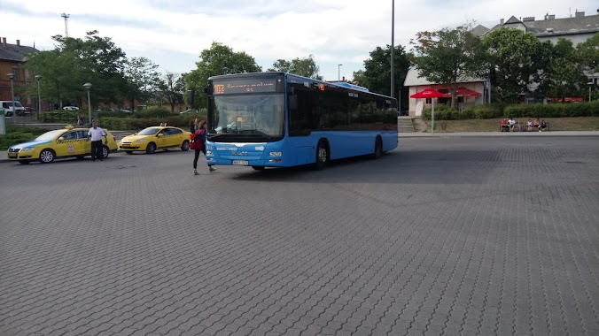
Bus station nearby Kelenföldi autóbuszgarázs (kapu)
Hungary
Bus station nearby Kelenföldi autóbuszgarázs (kapu)
Kelenföldi autóbuszgarázs (kapu)
Hungary Hungary
contacts phone
:
+36
Latitude:
47.473264
, Longitude:
19.029397
read more
nearest Bus station
68 m
Budapest, Kelenföldi Autóbuszgarázs
Hungary
Bus station
read more
99 m
Kelenföldi autóbuszgarázs
Hungary
Bus station
read more
236 m
Hollókő utca
Hungary
Bus station
read more
274 m
Csóka utca
Hungary
Bus station
read more
295 m
Ajnácskő utca
Hungary
Bus station
read more
380 m
Karolina út
Budapest
Bus station
read more
535 m
Szent Imre Kórház
Budapest
Bus station
read more
604 m
Diószegi út (Vérellátó Szolgálat)
Hungary
Bus station
read more
607 m
Vincellér utca
Hungary
Bus station
read more
633 m
Fehérló utca
Hungary
Bus station
read more
734 m
Kosztolányi Dezső tér
Hungary
Bus station
read more
786 m
Dayka Gábor utca
Hungary
Bus station
read more
836 m
Kosztolányi Dezső tér
Budapest
Bus station
read more
847 m
Tétényi út 30.
Hungary
Bus station
read more
958 m
Szüret utca
Hungary
Bus station
read more
1.063 km
Tas vezér utca
Hungary
Bus station
read more
1.066 km
Budapest, Budapest Kelenföld BKK
Hungary
Bus station
read more
1.081 km
Kelenföld vasútállomás M
Budapest
Bus station
read more
1.128 km
Budapest, Sasadi út
Hungary
Bus station
read more
1.133 km
Ménesi út
Hungary
Bus station
read more
1.175 km
Sasadi út
Hungary
Bus station
read more
1.26 km
Budapest, Kelenföld vasútállomás (Őrmező)
Hungary
Bus station
read more
1.386 km
Breznó lépcső
Hungary
Bus station
read more
1.669 km
Sion lépcső
Hungary
Bus station
read more
2.116 km
Andor utca
Hungary
Bus station
read more
📑
all categories
Accounting
Administrative area level 1
Administrative area level 2
Airport
Amusement park
Aquarium
Art gallery
Atm
Bakery
Bank
Bar
Beauty salon
Bicycle store
Book store
Bowling alley
Bus station
Cafe
Campground
Car dealer
Car rental
Car repair
Car wash
Casino
Cemetery
Church
City hall
Clothing store
Colloquial area
Convenience store
Country
Courthouse
Dentist
Department store
Doctor
Electrician
Electronics store
Embassy
Finance
Fire station
Florist
Food
Funeral home
Furniture store
Gas station
General contractor
Grocery or supermarket
Gym
Hair care
Hardware store
Health
Hindu Temple
Home goods store
Hospital
Insurance agency
Intersection
Jewelry store
Laundry
Lawyer
Library
Light rail station
Liquor store
Local government office
Locality
Locksmith
Lodging
Meal delivery
Meal takeaway
Mosque
Movie rental
Movie theater
Moving company
Museum
Natural feature
Neighborhood
Night club
Painter
Park
Parking
Pet store
Pharmacy
Physiotherapist
Place of worship
Plumber
Point of interest
Police
Political
Post office
Premise
Real estate agency
Restaurant
Roofing contractor
Route
Rv park, camping
School
Shoe store
Shopping mall
Spa
Stadium
Storage
Store
Subpremise
Subway station
Supermarket
Synagogue
Taxi stand
Train station
Transit station
Travel agency
University
Veterinary care
Zoo
administrative area level 3
sublocality level 1
↑