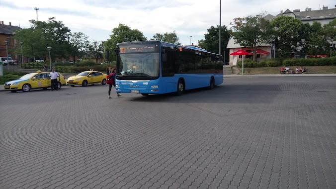
Bus station nearby Bornemissza tér
Hungary
Bus station nearby Bornemissza tér
Bornemissza tér
Hungary Magyarország
contacts phone
:
+36
Latitude:
47.458413
, Longitude:
19.033576
read more
nearest Bus station
202 m
Andor utca / Tétényi út
Hungary
Bus station
read more
287 m
Pajkos utca
Hungary
Bus station
read more
419 m
Csurgói út
Hungary
Bus station
read more
551 m
Andor utca
Hungary
Bus station
read more
596 m
Budapest, Bikás park
Hungary
Bus station
read more
603 m
Bikás park M
Hungary
Bus station
read more
694 m
Than Károly utca
Hungary
Bus station
read more
723 m
Etele út / Fehérvári út
Budapest
Bus station
read more
740 m
Borszéki utca
Hungary
Bus station
read more
746 m
Budapest, Borszéki utca
Hungary
Bus station
read more
748 m
Hadak útja
Hungary
Bus station
read more
776 m
Hajtány sor
Hungary
Bus station
read more
865 m
Nyéki Imre Uszoda
Hungary
Bus station
read more
884 m
Tétényi út 30.
Hungary
Bus station
read more
918 m
Nyírbátor utca
Hungary
Bus station
read more
987 m
Budapest, Kelenföld vasútállomás
Hungary
Bus station
read more
990 m
Budapest, Budapest Kelenföld
Hungary
Bus station
read more
999 m
Autóbuszállomás Budapest-Kelenföld
Budapest, Etele tér, Autóbuszállomás
Bus station
read more
1.013 km
Volánbusz Zrt. - Kelenföldi pályaudvar autóbusz-állomás
Budapest, Somogyi út 35
Bus station
read more
1.051 km
Kelenföld vasútállomás M
Budapest
Bus station
read more
1.06 km
Budapest, Budapest Kelenföld BKK
Hungary
Bus station
read more
1.069 km
Gépész utca
Hungary
Bus station
read more
1.233 km
Duránci utca
Hungary
Bus station
read more
1.235 km
Hauszmann Alajos utca
Hungary
Bus station
read more
2.091 km
Rózsavölgy felső
Hungary
Bus station
read more
📑
all categories
Accounting
Administrative area level 1
Administrative area level 2
Airport
Amusement park
Aquarium
Art gallery
Atm
Bakery
Bank
Bar
Beauty salon
Bicycle store
Book store
Bowling alley
Bus station
Cafe
Campground
Car dealer
Car rental
Car repair
Car wash
Casino
Cemetery
Church
City hall
Clothing store
Colloquial area
Convenience store
Country
Courthouse
Dentist
Department store
Doctor
Electrician
Electronics store
Embassy
Finance
Fire station
Florist
Food
Funeral home
Furniture store
Gas station
General contractor
Grocery or supermarket
Gym
Hair care
Hardware store
Health
Hindu Temple
Home goods store
Hospital
Insurance agency
Intersection
Jewelry store
Laundry
Lawyer
Library
Light rail station
Liquor store
Local government office
Locality
Locksmith
Lodging
Meal delivery
Meal takeaway
Mosque
Movie rental
Movie theater
Moving company
Museum
Natural feature
Neighborhood
Night club
Painter
Park
Parking
Pet store
Pharmacy
Physiotherapist
Place of worship
Plumber
Point of interest
Police
Political
Post office
Premise
Real estate agency
Restaurant
Roofing contractor
Route
Rv park, camping
School
Shoe store
Shopping mall
Spa
Stadium
Storage
Store
Subpremise
Subway station
Supermarket
Synagogue
Taxi stand
Train station
Transit station
Travel agency
University
Veterinary care
Zoo
administrative area level 3
sublocality level 1
↑