Bus station nearby Berente, Bányagépjavító üzem
Hungary
Bus station nearby Berente, Bányagépjavító üzem
Berente, Bányagépjavító üzem
Berente, 3704 Magyarország
contacts phone
:
+36
Latitude:
48.230642
, Longitude:
20.686018
larger map & directions
read more
nearest Bus station
167 m
Berente, Dissous üzem
Hungary
Bus station
read more
571 m
Berente, Hőerőmű főkapu
Hungary
Bus station
read more
594 m
Berente, Hőerőmű gyalogos felüljáró
Hungary
Bus station
read more
974 m
Berente, Esze T. u. 36.
Hungary
Bus station
read more
1.108 km
Berente, PVC gyár bejárati út
Hungary
Bus station
read more
1.185 km
Sajószentpéter, III.akna bejárati út
Hungary
Bus station
read more
1.236 km
Sajószentpéter, Szabadság tp.
Hungary
Bus station
read more
1.335 km
Berente, kultúrház
Hungary
Bus station
read more
1.456 km
Berente, Szénosztályzómű
Hungary
Bus station
read more
1.484 km
Kukucska telep bejárati út
Hungary
Bus station
read more
1.521 km
Sajószentpéter, alacskai elágazás
Hungary
Bus station
read more
1.688 km
Berentebánya
Hungary
Bus station
read more
1.739 km
Sajószentpéter, IV. akna bejárati út
Hungary
Bus station
read more
1.769 km
Berente, Cementipari Vállalat
Hungary
Bus station
read more
1.841 km
Sajószentpéter, 4. sz. iskola
Hungary
Bus station
read more
1.917 km
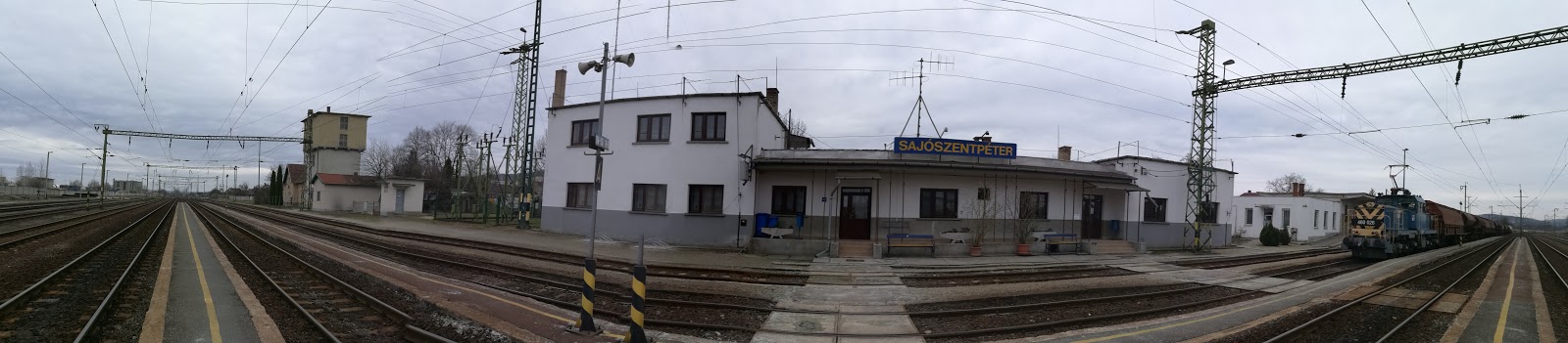
Sajószentpéter, vasútállomás
Hungary
Bus station
read more
1.927 km
Sajószentpéter, parasznyai elágazás
Hungary
Bus station
read more
2.056 km
Sajószentpéter Semmelweis u. óvoda
Hungary
Bus station
read more
2.064 km
Berente, Agrokonzum
Hungary
Bus station
read more
2.092 km
Sajószentpéter, Kápolnaalja u.6.
Hungary
Bus station
read more
2.35 km
Sajószentpéter, posta
Hungary
Bus station
read more
2.719 km
Alacska, Ady E.út
Hungary
Bus station
read more
2.891 km
Sajószentpéter, ELZETT-CERTA b. u.
Hungary
Bus station
read more
3.549 km
Kazincbarcika, Szent Flórián tér autóbusz-váróterem
Hungary
Bus station
read more
3.82 km
Kazincbarcika, VGV telep
Hungary
Bus station
read more
📑
all categories
Accounting
Administrative area level 1
Administrative area level 2
Airport
Amusement park
Aquarium
Art gallery
Atm
Bakery
Bank
Bar
Beauty salon
Bicycle store
Book store
Bowling alley
Bus station
Cafe
Campground
Car dealer
Car rental
Car repair
Car wash
Casino
Cemetery
Church
City hall
Clothing store
Colloquial area
Convenience store
Country
Courthouse
Dentist
Department store
Doctor
Electrician
Electronics store
Embassy
Finance
Fire station
Florist
Food
Funeral home
Furniture store
Gas station
General contractor
Grocery or supermarket
Gym
Hair care
Hardware store
Health
Hindu Temple
Home goods store
Hospital
Insurance agency
Intersection
Jewelry store
Laundry
Lawyer
Library
Light rail station
Liquor store
Local government office
Locality
Locksmith
Lodging
Meal delivery
Meal takeaway
Mosque
Movie rental
Movie theater
Moving company
Museum
Natural feature
Neighborhood
Night club
Painter
Park
Parking
Pet store
Pharmacy
Physiotherapist
Place of worship
Plumber
Point of interest
Police
Political
Post office
Premise
Real estate agency
Restaurant
Roofing contractor
Route
Rv park, camping
School
Shoe store
Shopping mall
Spa
Stadium
Storage
Store
Subpremise
Subway station
Supermarket
Synagogue
Taxi stand
Train station
Transit station
Travel agency
University
Veterinary care
Zoo
administrative area level 3
sublocality level 1
↑