Bar nearby Szokolyai Bisztró - Kocsma
Hungary
Bar nearby Szokolyai Bisztró - Kocsma
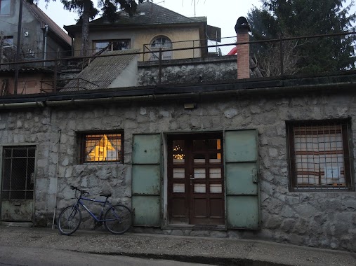
Szokolyai Bisztró - Kocsma
63, Fő utca, 2624, Szokolya, HU Hungary
contacts phone
:
+36
Latitude:
47.8670043
, Longitude:
19.009153
larger map & directions
read more
nearest Bar
410 m
Presszó
Szokolya, Fő utca 70
Bar
read more
4.276 km
Csi-Bi Pub
Kismaros, Szokolyai út 7
Bar
read more
4.369 km
Púder kocsma
Kismaros, Szokolyai út 3
Bar
read more
4.986 km
Szurdik Italbolt
Verőce, Rákóczi út 55
Bar
read more
5.29 km
Sport büfé
Berkenye, Kossuth utca 30
Bar
read more
6.697 km
nomad Bar
Nagymaros, 2626, Dunapart utca
Bar
read more
7.159 km
Italbolt
Szendehely, Dózsa György út 36
Bar
read more
8.001 km
Kemping Büfé
Dunabogdány, Strand utca 93
Bar
read more
9.473 km
Bor-Piac
Nagymaros, Fő tér 16
Bar
read more
9.504 km
Gambrinus Söröző
Visegrád, Nagy Lajos utca 2
Bar
read more
10.451 km
Kulacs
Zebegény, Pozsonyi utca 1
Bar
read more
11.546 km
star Guesthouse
Vác, Balassagyarmati út 8
Bar
read more
11.74 km
Bon-Bon Presszó
Rétság, Piac tér 12
Bar
read more
12.067 km
Center Pub&Cafe
Vác, Deákvári főút 32
Bar
read more
12.809 km
Bözsi Néni kocsmája
Vác, Szent János utca 22
Bar
read more
13.142 km
Dömösi Ports
Dömös, Kossuth Lajos út 1
Bar
read more
13.142 km
Dömösi Rév
Dömös, Kossuth Lajos út 1
Bar
read more
13.218 km
Vasutas kávézó
Vác, Széchenyi István utca 41
Bar
read more
13.228 km
Duna Presszó
Vác, Március 15. tér 13
Bar
read more
13.46 km
Strand Büfé
Vác, Szentháromság tér 4
Bar
read more
13.507 km
Karámba Söröző
Dömös, Kossuth Lajos út 10
Bar
read more
13.968 km
Mackó Presszó
Vác, Damjanich tér 15
Bar
read more
13.968 km
Mackó Presszó
Vác, Damjanich János tér 15
Bar
read more
14.073 km
Fónagy és Walter Vendég- és Borház
Vác, Budapesti főút 36
Bar
read more
16.794 km
Presszó
Tereske, Kossuth utca 97
Bar
read more
📑
all categories
Accounting
Administrative area level 1
Administrative area level 2
Airport
Amusement park
Aquarium
Art gallery
Atm
Bakery
Bank
Bar
Beauty salon
Bicycle store
Book store
Bowling alley
Bus station
Cafe
Campground
Car dealer
Car rental
Car repair
Car wash
Casino
Cemetery
Church
City hall
Clothing store
Colloquial area
Convenience store
Country
Courthouse
Dentist
Department store
Doctor
Electrician
Electronics store
Embassy
Finance
Fire station
Florist
Food
Funeral home
Furniture store
Gas station
General contractor
Grocery or supermarket
Gym
Hair care
Hardware store
Health
Hindu Temple
Home goods store
Hospital
Insurance agency
Intersection
Jewelry store
Laundry
Lawyer
Library
Light rail station
Liquor store
Local government office
Locality
Locksmith
Lodging
Meal delivery
Meal takeaway
Mosque
Movie rental
Movie theater
Moving company
Museum
Natural feature
Neighborhood
Night club
Painter
Park
Parking
Pet store
Pharmacy
Physiotherapist
Place of worship
Plumber
Point of interest
Police
Political
Post office
Premise
Real estate agency
Restaurant
Roofing contractor
Route
Rv park, camping
School
Shoe store
Shopping mall
Spa
Stadium
Storage
Store
Subpremise
Subway station
Supermarket
Synagogue
Taxi stand
Train station
Transit station
Travel agency
University
Veterinary care
Zoo
administrative area level 3
sublocality level 1
↑