Bar nearby Koli Csárda
Hungary
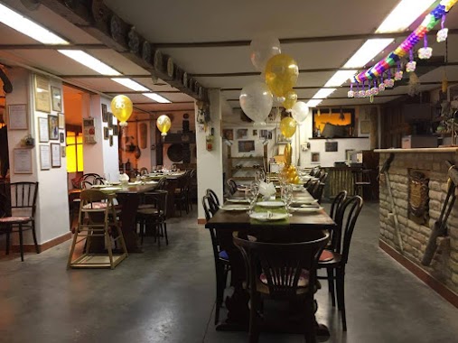
Bar nearby Koli Csárda
Koli Csárda
Kéty, 7174, Petőfi utca 77 Hungary
contacts phone
:
+36
Latitude:
46.4404779
, Longitude:
18.5233851
read more
nearest Bar
11.775 km
Téglás Presszó
Kakasd, Kossuth Lajos utca 24
Bar
read more
12.514 km
Sötétvölgy MTB Trail
Szekszárd, Unnamed Road,
Bar
read more
13.582 km
Édenkert Bár
Aparhant, Ady utca
Bar
read more
13.625 km
Simigh Családi Pincészet
Gyönk, Rákóczi utca 133
Bar
read more
15.964 km
Borfaragó pince
Szekszárd, Bocskai utca 26
Bar
read more
16.361 km
Schieber Pincészet
Szekszárd, Kadarka utca
Bar
read more
16.456 km
Kék Egér Presszó
Szekszárd, Kadarka utca 70
Bar
read more
16.521 km
Bodri Pincészet
Szekszárd
Bar
read more
16.55 km
Dúzsi Tamás Pincéje
Szekszárd, Kadarka utca 44
Bar
read more
16.569 km
Séd Söröző
Szekszárd, Babits Mihály utca 11
Bar
read more
16.678 km
Márkvárt Pince
Szekszárd, Fürdőház utca 2
Bar
read more
16.727 km
Kadarka Borozó
Szekszárd
Bar
read more
16.98 km
Red Rock Drinkbár
Szekszárd, Garay tér
Bar
read more
17.018 km
Est Káfé
Szekszárd, Garay tér 5
Bar
read more
17.509 km
Alibi Söröző
Tengelic, Gindli utca
Bar
read more
17.664 km
Kiskocsma
Tengelic, Kossuth Lajos utca
Bar
read more
17.675 km
Oázis Büfé
Szekszárd
Bar
read more
17.682 km
Lépcső Presszó
Szekszárd, Cseri János utca 64
Bar
read more
18.171 km
Harbro Bar&Lounge
Szekszárd, Tartsay Vilmos utca 8
Bar
read more
18.183 km
Piknik
Szekszárd, árok utca 1
Bar
read more
20.061 km
Tolna @Drink Bár
Tolna, 7130, Deák Ferenc utca 84
Bar
read more
20.946 km
Gödör Presszó
Bar
read more
21.578 km
Stella Presszó
Szászvár, Szent István utca 7
Bar
read more
25.891 km
Jéhn Kocsma
Óbánya, Fő utca 69
Bar
read more
28.652 km
Ben Joe Söröző
Tamási
Bar
read more
📑
all categories
Accounting
Administrative area level 1
Administrative area level 2
Airport
Amusement park
Aquarium
Art gallery
Atm
Bakery
Bank
Bar
Beauty salon
Bicycle store
Book store
Bowling alley
Bus station
Cafe
Campground
Car dealer
Car rental
Car repair
Car wash
Casino
Cemetery
Church
City hall
Clothing store
Colloquial area
Convenience store
Country
Courthouse
Dentist
Department store
Doctor
Electrician
Electronics store
Embassy
Finance
Fire station
Florist
Food
Funeral home
Furniture store
Gas station
General contractor
Grocery or supermarket
Gym
Hair care
Hardware store
Health
Hindu Temple
Home goods store
Hospital
Insurance agency
Intersection
Jewelry store
Laundry
Lawyer
Library
Light rail station
Liquor store
Local government office
Locality
Locksmith
Lodging
Meal delivery
Meal takeaway
Mosque
Movie rental
Movie theater
Moving company
Museum
Natural feature
Neighborhood
Night club
Painter
Park
Parking
Pet store
Pharmacy
Physiotherapist
Place of worship
Plumber
Point of interest
Police
Political
Post office
Premise
Real estate agency
Restaurant
Roofing contractor
Route
Rv park, camping
School
Shoe store
Shopping mall
Spa
Stadium
Storage
Store
Subpremise
Subway station
Supermarket
Synagogue
Taxi stand
Train station
Transit station
Travel agency
University
Veterinary care
Zoo
administrative area level 3
sublocality level 1
↑