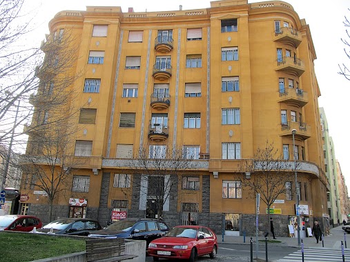
Bakery nearby Loriki pékség
Hungary
Bakery nearby Loriki pékség
Loriki pékség
15, Menyecske utca, 1112, Budapest, HU Węgry
contacts phone
:
+36
website:
foursquare.com
Latitude:
47.461659
, Longitude:
19.015563
larger map & directions
read more
nearest Bakery
222 m
Bake My Day Bakery
Budapest, Kérő utca 14-16
Bakery
read more
375 m
Lipóti Bakery
Budapest, Péterhegyi út 5
Bakery
read more
489 m
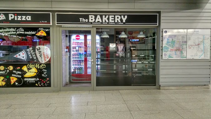
The Bakery - Sandwich, Drink, Bakery, Coffee
Budapest, Vasút utca 9
Bakery
read more
516 m
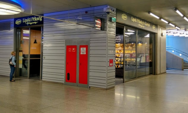
Lipóti pékség
Budapest, Etele tér 9
Bakery
read more
524 m
Fornetti bakery
Budapest, Etele tér 9
Bakery
read more
707 m
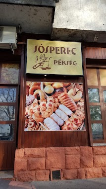
Sósperec pékség
Budapest, Kelenföldi út 52
Bakery
read more
1.207 km
Rubin Pékség Kft.
Budapest, Alabástrom utca 25
Bakery
read more
1.327 km
Lumi pékség
Budapest
Bakery
read more
1.353 km
Somfa Cukrászda
Budapest, Tétényi út 63
Bakery
read more
1.374 km
Magyaros Kenyér
Budapest, Tétényi út 63
Bakery
read more
1.545 km
Sütimester - A nagy nap megédesítésére
Budapest, Forrás utca 3
Bakery
read more
1.612 km
Lipóti Pékség
Budapest, Tétényi út 16
Bakery
read more
1.702 km
London Pékség Mintabolt
Budapest, Kaptárkő utca 4
Bakery
read more
1.927 km
Prémium Pékség és Kávézó
Budapest, Fehérvári út 167-169
Bakery
read more
1.927 km
Premium Bakery and Cafe
Budapest, Fehérvári út 167-169
Bakery
read more
2.117 km
Liza bakery
Budapest, Gazdagréti tér 7
Bakery
read more
2.191 km
The Cake
Budapest, Ulászló utca 54
Bakery
read more
2.309 km
Bread and Co
Budapest, Németvölgyi út 150
Bakery
read more
2.343 km
Brios Pékség
Budapest, Kosztolányi Dezső tér 5
Bakery
read more
2.568 km
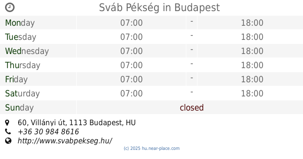
Sváb Pékség
Budapest, Villányi út 60
Bakery
read more
2.755 km
Cserpes Sajtműhely
Budapest, Fehérvári út 22
Bakery
read more
2.757 km
Gere Pékség
Budapest, Fehérvári út
Bakery
read more
3.168 km
The Donut Library
Budapest, Karinthy Frigyes út 18
Bakery
read more
3.541 km
Lipóti Bakery
Budapest, Hunyadi János út 19
Bakery
read more
3.65 km
Gellért Pékség
Budapest, Bartók Béla út 8
Bakery
read more
📑
all categories
Accounting
Administrative area level 1
Administrative area level 2
Airport
Amusement park
Aquarium
Art gallery
Atm
Bakery
Bank
Bar
Beauty salon
Bicycle store
Book store
Bowling alley
Bus station
Cafe
Campground
Car dealer
Car rental
Car repair
Car wash
Casino
Cemetery
Church
City hall
Clothing store
Colloquial area
Convenience store
Country
Courthouse
Dentist
Department store
Doctor
Electrician
Electronics store
Embassy
Finance
Fire station
Florist
Food
Funeral home
Furniture store
Gas station
General contractor
Grocery or supermarket
Gym
Hair care
Hardware store
Health
Hindu Temple
Home goods store
Hospital
Insurance agency
Intersection
Jewelry store
Laundry
Lawyer
Library
Light rail station
Liquor store
Local government office
Locality
Locksmith
Lodging
Meal delivery
Meal takeaway
Mosque
Movie rental
Movie theater
Moving company
Museum
Natural feature
Neighborhood
Night club
Painter
Park
Parking
Pet store
Pharmacy
Physiotherapist
Place of worship
Plumber
Point of interest
Police
Political
Post office
Premise
Real estate agency
Restaurant
Roofing contractor
Route
Rv park, camping
School
Shoe store
Shopping mall
Spa
Stadium
Storage
Store
Subpremise
Subway station
Supermarket
Synagogue
Taxi stand
Train station
Transit station
Travel agency
University
Veterinary care
Zoo
administrative area level 3
sublocality level 1
↑